AutoCAD Civil 3D: Topographic and Boundary Survey
 Topographic and Boundary Survey
 Topographic and Boundary Survey
AutoCAD Civil 3D: Topographic and Boundary Survey : AutoCAD Civil 3D software—a design and documentation solution for civil engineering—offers tools and features that can help you maintain consistent data and improve project performance. In this course, learn how to leverage this powerful software to tackle the different types of tasks involved in a survey project, including boundary analysis and creating TIN surfaces. Instructor Dustin Manning helps you get started by explaining how to set up your survey database. He also shows how to create automated linework, draw and label boundaries, and translate surveys. To wrap up the course, he shares some helpful productivity tips.
Topics include :
- Setting up your survey database
- Field to Finish workflow
- Creating automatic linework
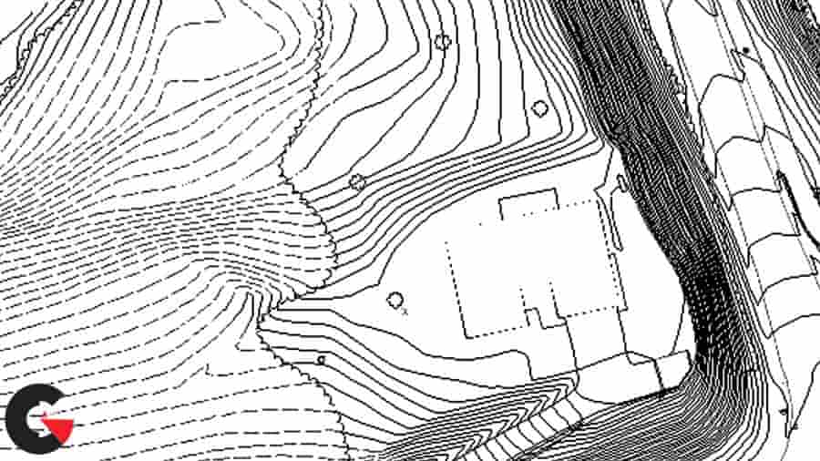
- Creating TIN surfaces
- Adding surface labels
- Working with different data sources
- Boundary survey in Civil 3D
- Drawing and labeling a boundary
- Productivity tips and tricks
Watch the Introduction Video :
lB6MwSwNNIYYHz66UqInBRH/video%202/20692
Direct download links 365 MB :

Direct download link reserved for subscribers only This VIP
Dear user to download files, please subscribe to the VIP member
- To activate your special membership site, just go to this link and register and activate your own membership . >>>register and activate<<<
- You can subscribe to this link and take advantage of the many benefits of membership.
- Direct downloads links
- No ads No waiting
- Download without any limitation ، all content in website
CGArchives Is The Best
Review
Review
Review this tutorial