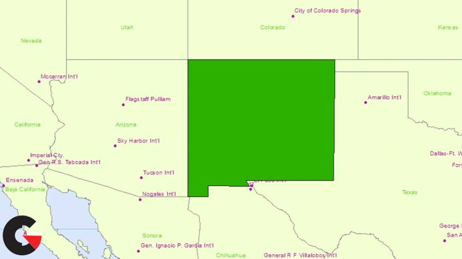

Up and Running with ArcGIS : Get up and running with ArcGIS, a true geographic information system (GIS) that allows you to dig into highly accurate geospatial data in a way other mapping applications can’t compete with. It’s great creating maps, analyzing data for land use studies and other reports, and preparing data for use in an application or database. Let Adam Wilbert show you how to display, analyze, and illustrate geospatial data with ArcGIS. He explores how to import data from multiple sources, manage it with the ArcGIS catalog, and then start making maps. Learn how to lay out your data in the ArcMap component; add symbols, scale bars, and legends; and get your maps out of ArcGIS and into the real world, whether it’s for printing or export to another application.
Topics include :
- Understanding vector vs. raster data
- Modifying metadata
- Adding data to a map
- Importing data from online providers
- Labeling features
- Joining data
- Clipping data to a study area
- Working with map layouts
- Creating a legend
- Printing and exporting the map to a file
Watch the Introduction Video :
lB6MwSwNNIYYHz66UqInBRH/video%202/19157
Direct download links 1.46 GB :
Direct download link reserved for subscribers only This VIP
Dear user to download files, please subscribe to the VIP member
- To activate your special membership site, just go to this link and register and activate your own membership . >>>register and activate<<<
- You can subscribe to this link and take advantage of the many benefits of membership.
- Direct downloads links
- No ads No waiting
- Download without any limitation ، all content in website
CGArchives Is The Best
Review
Review
Review this tutorial